
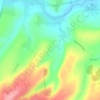
East Kennett topographic map
Interactive map
Click on the map to display elevation.
About this map
Name: East Kennett topographic map, elevation, terrain.
Location: East Kennett, Wiltshire, England, United Kingdom (51.38344 -1.84876 51.41300 -1.82131)
Average elevation: 189 m
Minimum elevation: 142 m
Maximum elevation: 262 m
Wiltshire trails, hiking, mountain biking, running and outdoor activities
Other topographic maps
Click on a map to view its topography, its elevation and its terrain.