
Grad Križevci topographic map
Interactive map
Click on the map to display elevation.
About this map
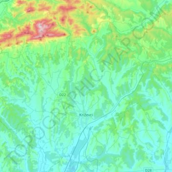
Name: Grad Križevci topographic map, elevation, terrain.
Location: Grad Križevci, Gespanschaft Kopreinitz-Kreutz, Kroatien (45.94704 16.40194 46.18054 16.72358)
Average elevation: 196 m
Minimum elevation: 109 m
Maximum elevation: 606 m
Other topographic maps
Click on a map to view its topography, its elevation and its terrain.
Gotalovo
Kroatien > Gespanschaft Kopreinitz-Kreutz
Gotalovo, Općina Gola, Gespanschaft Kopreinitz-Kreutz, Kroatien
Average elevation: 124 m