
Gotalovo topographic map
Interactive map
Click on the map to display elevation.
About this map
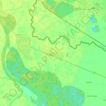
Name: Gotalovo topographic map, elevation, terrain.
Average elevation: 124 m
Minimum elevation: 113 m
Maximum elevation: 129 m
Other topographic maps
Click on a map to view its topography, its elevation and its terrain.
Grad Križevci
Kroatien > Gespanschaft Kopreinitz-Kreutz
Grad Križevci, Gespanschaft Kopreinitz-Kreutz, Kroatien
Average elevation: 196 m