
Wren Mountain topographic map
Interactive map
Click on the map to display elevation.
About this map
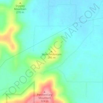
Name: Wren Mountain topographic map, elevation, terrain.
Location: Wren Mountain, Lawrence County, Alabama, United States (34.44616 -87.33618 34.44626 -87.33608)
Average elevation: 230 m
Minimum elevation: 197 m
Maximum elevation: 329 m
Other topographic maps
Click on a map to view its topography, its elevation and its terrain.