
Lam Mueang Sai topographic map
Interactive map
Click on the map to display elevation.
About this map
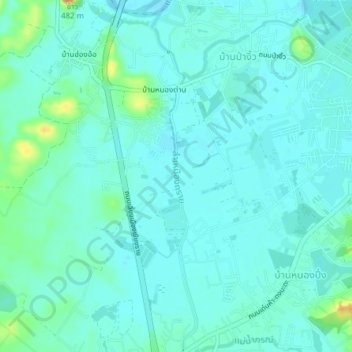
Name: Lam Mueang Sai topographic map, elevation, terrain.
Average elevation: 402 m
Minimum elevation: 393 m
Maximum elevation: 442 m
Other topographic maps
Click on a map to view its topography, its elevation and its terrain.
Mae Fah Luang Art and Culture Park
Thailand > Chiang Rai Province > Chiang Rai > Ban Nong Dan
Mae Fah Luang Art and Culture Park, Ban Nong Dan, Chiang Rai, Doi Hang, Chiang Rai Province, 57000, Thailand
Average elevation: 400 m