Geolocate

Walkes topographic map

Click on the map to display elevation.

About this map

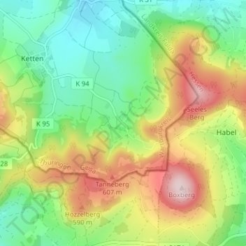
Name: Walkes topographic map, elevation, terrain.

Location: Walkes, Geisa, Wartburgkreis, Thuringia, Germany (50.61694 9.92953 50.65694 9.96953)

Average elevation: 487 m

Minimum elevation: 361 m

Maximum elevation: 680 m

Other topographic maps

Click on a map to view its topography, its elevation and its terrain.

Geisa

Germany > Thuringia > Wartburgkreis > Geisa

Average elevation: 332 m

Gear up for your next adventure:

🧥Waterproof Hiking Jackets - Rain protection for walking in all weather conditions
🔦Waterproof LED Headlamps - Hands-free lighting for evening treks and emergency navigation
👖Convertible Hiking Trousers - Versatile zip-off pants for changing mountain weather conditions
🥤Collapsible Water Bottles - Save space in your rucksack as you consume your water
🧊Insulated Flasks - Keeps drinks hot or cold during hikes

As an Amazon Associate, this site earns from qualifying purchases at no extra cost to you.