
Geisa topographic map
Click on the map to display elevation.
About this map
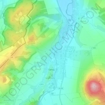
Name: Geisa topographic map, elevation, terrain.
Location: Geisa, Wartburgkreis, Thuringia, 36419, Germany (50.70182 9.92066 50.73940 9.98041)
Average elevation: 332 m
Minimum elevation: 267 m
Maximum elevation: 495 m