
التيدرة topographic map
Interactive map
Click on the map to display elevation.
About this map
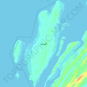
Name: التيدرة topographic map, elevation, terrain.
Location: التيدرة, Dakhlet Nouadhibou, Mauritania (19.59886 -16.46677 19.86554 -16.33267)
Average elevation: 2 m
Minimum elevation: -4 m
Maximum elevation: 39 m
Other topographic maps
Click on a map to view its topography, its elevation and its terrain.