Geolocate

Sedata topographic map

Click on the map to display elevation.

About this map

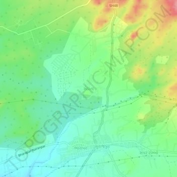
Name: Sedata topographic map, elevation, terrain.

Location: Sedata, Bhuj Taluka, Kachchh, Gujarat, 370427, India (23.12243 69.61064 23.16243 69.65064)

Average elevation: 180 m

Minimum elevation: 146 m

Maximum elevation: 243 m

Other topographic maps

Click on a map to view its topography, its elevation and its terrain.

Baladiya

India > Gujarat > Bhuj Taluka

Average elevation: 155 m

Gear up for your next adventure:

👖Convertible Hiking Trousers - Versatile zip-off pants for changing mountain weather conditions
🛰️Outdoor GPS Navigation - Navigation devices for remote and off-grid areas
🌂Windproof Trekking Umbrellas - Surprising but effective rain protection on low-wind trails
🎒Hiking Backpacks - Comfortable backpacks for day hikes and multi-day treks
🧷Tenacious Repair Tape - Instant fix for torn tents, jackets, or dry bags

As an Amazon Associate, this site earns from qualifying purchases at no extra cost to you.