
Nyalubanga topographic map
Interactive map
Click on the map to display elevation.
About this map
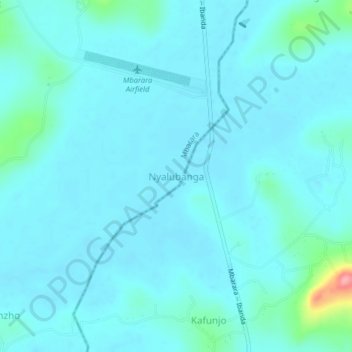
Name: Nyalubanga topographic map, elevation, terrain.
Location: Nyalubanga, Mbarara, Western Region, Uganda (-0.58750 30.58361 -0.54750 30.62361)
Average elevation: 1,408 m
Minimum elevation: 1,395 m
Maximum elevation: 1,509 m
Other topographic maps
Click on a map to view its topography, its elevation and its terrain.