
Zurmi topographic map
Interactive map
Click on the map to display elevation.
About this map
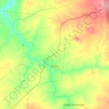
Name: Zurmi topographic map, elevation, terrain.
Location: Zurmi, Zamfara State, Nigeria (12.73618 6.65742 12.84877 6.79753)
Average elevation: 408 m
Minimum elevation: 359 m
Maximum elevation: 464 m
Other topographic maps
Click on a map to view its topography, its elevation and its terrain.