
Phia-Mai topographic map
Interactive map
Click on the map to display elevation.
About this map
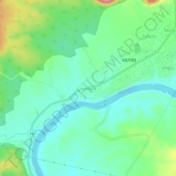
Name: Phia-Mai topographic map, elevation, terrain.
Location: Phia-Mai, Lam Mam District, Sekong Province, Laos (15.32195 106.69228 15.36195 106.73228)
Average elevation: 146 m
Minimum elevation: 107 m
Maximum elevation: 245 m
Other topographic maps
Click on a map to view its topography, its elevation and its terrain.