
Jowhar District topographic map
Interactive map
Click on the map to display elevation.
About this map
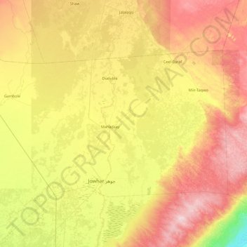
Name: Jowhar District topographic map, elevation, terrain.
Location: Jowhar District, Middle Shebelle, Hirshabelle, Somalia (2.72000 45.07000 3.25000 45.96000)
Average elevation: 130 m
Minimum elevation: 9 m
Maximum elevation: 273 m
Other topographic maps
Click on a map to view its topography, its elevation and its terrain.