
Balad District topographic map
Interactive map
Click on the map to display elevation.
About this map
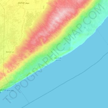
Name: Balad District topographic map, elevation, terrain.
Location: Balad District, Middle Shebelle, Hirshabelle, Somalia (1.91957 45.33000 2.76000 46.25233)
Average elevation: 55 m
Minimum elevation: 0 m
Maximum elevation: 270 m
Other topographic maps
Click on a map to view its topography, its elevation and its terrain.