
Lake City topographic map
Interactive map
Click on the map to display elevation.
About this map
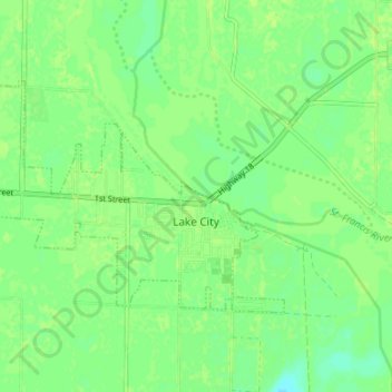
Name: Lake City topographic map, elevation, terrain.
Location: Lake City, Craighead County, Arkansas, 72437, United States (35.80512 -90.48720 35.83737 -90.42012)
Average elevation: 69 m
Minimum elevation: 62 m
Maximum elevation: 72 m
Other topographic maps
Click on a map to view its topography, its elevation and its terrain.