
Temperance Hall topographic map
Interactive map
Click on the map to display elevation.
About this map
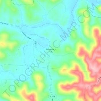
Name: Temperance Hall topographic map, elevation, terrain.
Average elevation: 203 m
Minimum elevation: 148 m
Maximum elevation: 324 m
Other topographic maps
Click on a map to view its topography, its elevation and its terrain.
Smithville
United States > Tennessee > DeKalb County
Smithville, DeKalb County, Tennessee, United States
Average elevation: 317 m