
Radau topographic map
Interactive map
Click on the map to display elevation.
About this map
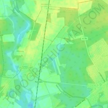
Name: Radau topographic map, elevation, terrain.
Average elevation: 65 m
Minimum elevation: 55 m
Maximum elevation: 73 m
Other topographic maps
Click on a map to view its topography, its elevation and its terrain.
Niederohe
Deutschland > Niedersachsen > Faßberg > Niederohe
Niederohe, Faßberg, Landkreis Celle, Niedersachsen, Deutschland
Average elevation: 85 m
Oberohe
Deutschland > Niedersachsen > Faßberg > Oberohe
Oberohe, Faßberg, Landkreis Celle, Niedersachsen, Deutschland
Average elevation: 86 m