
八渡瑶族乡 topographic map
Interactive map
Click on the map to display elevation.
About this map
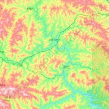
Name: 八渡瑶族乡 topographic map, elevation, terrain.
Location: 八渡瑶族乡, 田林县, 百色市, 广西壮族自治区, 中国 (24.14400 105.70813 24.47383 106.04909)
Average elevation: 671 m
Minimum elevation: 220 m
Maximum elevation: 1,310 m
Other topographic maps
Click on a map to view its topography, its elevation and its terrain.
岑王老山国家级自然保护区
岑王老山国家级自然保护区, 浪平镇, 田林县, 百色市, 广西壮族自治区, 中国
Average elevation: 1,236 m