
Nawagai topographic map
Interactive map
Click on the map to display elevation.
About this map
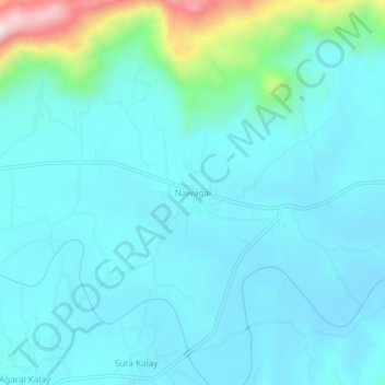
Name: Nawagai topographic map, elevation, terrain.
Average elevation: 718 m
Minimum elevation: 653 m
Maximum elevation: 1,098 m
Other topographic maps
Click on a map to view its topography, its elevation and its terrain.
Rega
Pakistan > Khyber Pakhtunkhwa > Buner District > Rega
Rega, Buner District, Khyber Pakhtunkhwa, Pakistan
Average elevation: 755 m