
Mũi Né topographic map
Interactive map
Click on the map to display elevation.
About this map
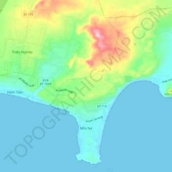
Name: Mũi Né topographic map, elevation, terrain.
Location: Mũi Né, Phan Thiết City, Bình Thuận Province, Vietnam (10.90939 108.26564 11.00606 108.35021)
Average elevation: 58 m
Minimum elevation: -2 m
Maximum elevation: 253 m
Other topographic maps
Click on a map to view its topography, its elevation and its terrain.