
Steinhausen topographic map
Interactive map
Click on the map to display elevation.
About this map
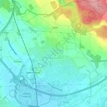
Name: Steinhausen topographic map, elevation, terrain.
Location: Steinhausen, Zug, 6312, Schweiz (47.18488 8.46899 47.21235 8.50384)
Average elevation: 446 m
Minimum elevation: 414 m
Maximum elevation: 536 m
Other topographic maps
Click on a map to view its topography, its elevation and its terrain.