
AL AJIR topographic map
Interactive map
Click on the map to display elevation.
About this map
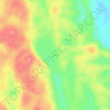
Name: AL AJIR topographic map, elevation, terrain.
Location: AL AJIR, Ash Sharqiyah South, Oman (22.03709 59.16905 22.07709 59.20905)
Average elevation: 182 m
Minimum elevation: 132 m
Maximum elevation: 227 m
Other topographic maps
Click on a map to view its topography, its elevation and its terrain.
Al Jalan
Oman > Ash Sharqiyah South > Al Wafi
Al Jalan, Al Wafi, Ash Sharqiyah South, Oman
Average elevation: 206 m