
Di An topographic map
Interactive map
Click on the map to display elevation.
About this map
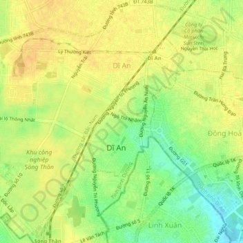
Name: Di An topographic map, elevation, terrain.
Location: Di An, Dĩ An, Di An City, Bình Dương Province, Vietnam (10.87678 106.73418 10.91617 106.77452)
Average elevation: 29 m
Minimum elevation: 11 m
Maximum elevation: 39 m
Other topographic maps
Click on a map to view its topography, its elevation and its terrain.