
Dong Hoa topographic map
Interactive map
Click on the map to display elevation.
About this map
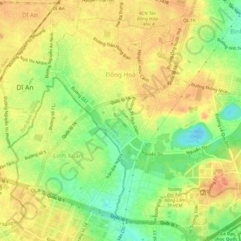
Name: Dong Hoa topographic map, elevation, terrain.
Location: Dong Hoa, Dĩ An, Di An City, Bình Dương Province, Vietnam (10.86721 106.76878 10.90505 106.81415)
Average elevation: 25 m
Minimum elevation: 1 m
Maximum elevation: 40 m
Other topographic maps
Click on a map to view its topography, its elevation and its terrain.