
Make a donation
Gear up for your next adventure:
As an Amazon Associate, this site earns from qualifying purchases at no extra cost to you.
Kaminoseki topographic map
Click on the map to display elevation.
Make a donation
Gear up for your next adventure:
As an Amazon Associate, this site earns from qualifying purchases at no extra cost to you.
About this map
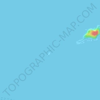
Name: Kaminoseki topographic map, elevation, terrain.
Average elevation: 0 m
Minimum elevation: 0 m
Maximum elevation: 67 m
Make a donation
Gear up for your next adventure:
As an Amazon Associate, this site earns from qualifying purchases at no extra cost to you.
Other topographic maps
Click on a map to view its topography, its elevation and its terrain.
Tanegashima Island
The island is of volcanic origin; however, unlike neighboring Yakushima, it presents a flat appearance, with its highest elevation at only 282 metres (925 ft) above sea level. The island has a length of 57 kilometres (31 nmi) and a width ranging from 5 kilometres (2.7 nmi) to 10 kilometres (5.4 nmi). The…
Average elevation: 14 m
Kuchinoerabu Island
Japan > Kumage County > Yakushima
Kuchinoerabu-jima is located 130 kilometres (70 nmi) south of Kagoshima. The island is of volcanic origin, and has an area of approximately 38 square kilometres (15 sq mi) with a length of 12 kilometres (7.5 mi) and width of 5 kilometres (3.1 mi). The highest elevations on the island are Furudake (古岳),…
Average elevation: 47 m