Geolocate

Nisswa topographic map

Interactive map

Click on the map to display elevation.

About this map

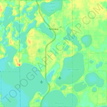
Name: Nisswa topographic map, elevation, terrain.

Location: Nisswa, Crow Wing County, Minnesota, 56468, United States (46.45612 -94.32994 46.54439 -94.26518)

Average elevation: 370 m

Minimum elevation: 358 m

Maximum elevation: 398 m

Other topographic maps

Click on a map to view its topography, its elevation and its terrain.

Ruth Lake

United States > Minnesota > Crow Wing County > Emily

Ruth Lake, Emily, Crow Wing County, Minnesota, United States

Average elevation: 391 m

Crosby

United States > Minnesota > Crow Wing County > Crosby

Crosby, Crow Wing County, Minnesota, United States

Average elevation: 382 m

Emily

United States > Minnesota > Crow Wing County

Emily, Crow Wing County, Minnesota, United States

Average elevation: 393 m

Brainerd

United States > Minnesota > Crow Wing County

Brainerd, Crow Wing County, Minnesota, 56401, United States

Average elevation: 370 m