
Darkhan-Uul topographic map
Interactive map
Click on the map to display elevation.
About this map
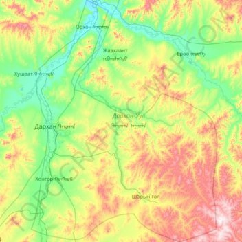
Name: Darkhan-Uul topographic map, elevation, terrain.
Location: Darkhan-Uul, Mongolia (49.08735 105.80842 49.92808 106.80389)
Average elevation: 909 m
Minimum elevation: 629 m
Maximum elevation: 1,634 m
Other topographic maps
Click on a map to view its topography, its elevation and its terrain.