
Nurek Dam topographic map
Interactive map
Click on the map to display elevation.
About this map
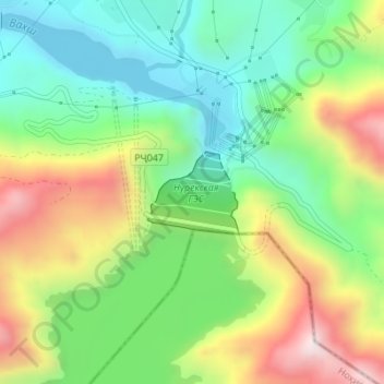
Name: Nurek Dam topographic map, elevation, terrain.
Location: Nurek Dam, Norak District, Khatlon Region, Tajikistan (38.37085 69.34414 38.37660 69.35222)
Average elevation: 895 m
Minimum elevation: 640 m
Maximum elevation: 1,303 m
Other topographic maps
Click on a map to view its topography, its elevation and its terrain.
Nurak
Tajikistan > Khatlon Region > Norak District
Nurak, Norak District, Khatlon Region, Tajikistan
Average elevation: 780 m