Geolocate

Mount Arabella topographic map

Click on the map to display elevation.

About this map

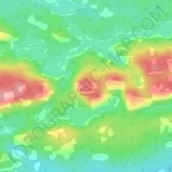
Name: Mount Arabella topographic map, elevation, terrain.

Location: Mount Arabella, Unorganized North Sudbury, Sudbury District, Northeastern Ontario, Ontario, Canada (46.12398 -81.76955 46.12408 -81.76945)

Average elevation: 243 m

Minimum elevation: 184 m

Maximum elevation: 343 m

Other topographic maps

Click on a map to view its topography, its elevation and its terrain.

Gear up for your next adventure:

🧥Waterproof Hiking Jackets - Rain protection for walking in all weather conditions
👖Packable Overtrousers - Quick-deploy rain protection for legs in sudden storms
👟Waterproof Leg Gaiters - Keep mud and water out of your boots in boggy terrain
📱Phone Mounts for Hiking - Secure mounts to carry your phone on trails
🚲Cycling GPS Computers - Track elevation and topographic routes on two wheels

As an Amazon Associate, this site earns from qualifying purchases at no extra cost to you.