
Thank you for supporting this site ❤️
Make a donation
Make a donation
Gear up for your next adventure:
As an Amazon Associate, this site earns from qualifying purchases at no extra cost to you.
Tat topographic map
Click on the map to display elevation.
Thank you for supporting this site ❤️
Make a donation
Make a donation
Gear up for your next adventure:
As an Amazon Associate, this site earns from qualifying purchases at no extra cost to you.
About this map
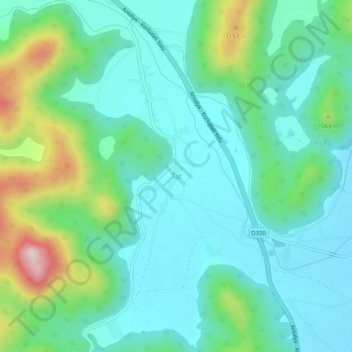
Name: Tat topographic map, elevation, terrain.
Location: Tat, Korkuteli, Antalya, Mediterranean Region, 07800, Turkey (37.01030 30.22861 37.05030 30.26861)
Average elevation: 998 m
Minimum elevation: 904 m
Maximum elevation: 1,295 m
Thank you for supporting this site ❤️
Make a donation
Make a donation
Gear up for your next adventure:
As an Amazon Associate, this site earns from qualifying purchases at no extra cost to you.