
Glencoe topographic map
Interactive map
Click on the map to display elevation.
About this map
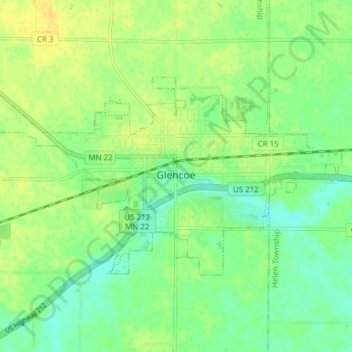
Name: Glencoe topographic map, elevation, terrain.
Location: Glencoe, McLeod County, Minnesota, United States (44.75367 -94.19209 44.78432 -94.11546)
Average elevation: 309 m
Minimum elevation: 298 m
Maximum elevation: 320 m
Other topographic maps
Click on a map to view its topography, its elevation and its terrain.
Plato
United States > Minnesota > McLeod County > Plato
Plato, McLeod County, Minnesota, United States
Average elevation: 303 m
Silver Lake
United States > Minnesota > McLeod County
Silver Lake, McLeod County, Minnesota, United States
Average elevation: 320 m