
Icefield Ranges topographic map
Interactive map
Click on the map to display elevation.
About this map
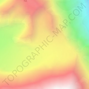
Name: Icefield Ranges topographic map, elevation, terrain.
Location: Icefield Ranges, Yukon, Kanada (61.25793 -140.66922 61.25803 -140.66912)
Average elevation: 3,034 m
Minimum elevation: 2,090 m
Maximum elevation: 3,777 m
Other topographic maps
Click on a map to view its topography, its elevation and its terrain.
Tombstone Territorial Park
Tombstone Territorial Park, Yukon, Kanada
Average elevation: 1,546 m
Destruction Bay
Kanada > Yukon > Destruction Bay > Destruction Bay
Destruction Bay, Yukon, Unorganized, Yukon, Y0B 1H0, Kanada
Average elevation: 893 m