
Jalpa topographic map
Interactive map
Click on the map to display elevation.
About this map
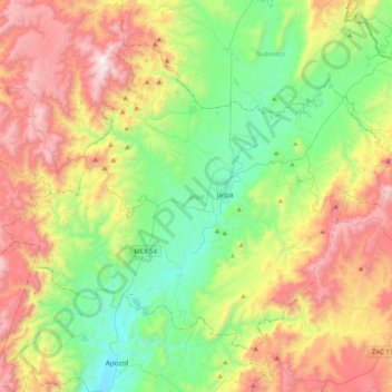
Name: Jalpa topographic map, elevation, terrain.
Location: Jalpa, Zacatecas, 99600, Mexique (21.48331 -103.20920 21.77778 -102.80282)
Average elevation: 1,843 m
Minimum elevation: 1,253 m
Maximum elevation: 2,808 m
Other topographic maps
Click on a map to view its topography, its elevation and its terrain.