
Calera topographic map
Interactive map
Click on the map to display elevation.
About this map
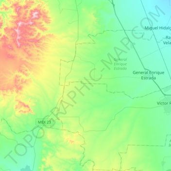
Name: Calera topographic map, elevation, terrain.
Location: Calera, Zacatecas, Mexique (22.83560 -102.90809 23.12189 -102.60273)
Average elevation: 2,280 m
Minimum elevation: 2,076 m
Maximum elevation: 2,842 m
Other topographic maps
Click on a map to view its topography, its elevation and its terrain.