
Chalda topographic map
Interactive map
Click on the map to display elevation.
About this map
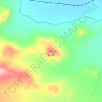
Name: Chalda topographic map, elevation, terrain.
Location: Chalda, Bolnisi Municipality, Lower Kartli, Georgia (41.41274 44.64378 41.41284 44.64388)
Average elevation: 505 m
Minimum elevation: 433 m
Maximum elevation: 632 m
Other topographic maps
Click on a map to view its topography, its elevation and its terrain.
Sakdrisi
Georgia > Lower Kartli > Bolnisi Municipality
Sakdrisi, Bolnisi Municipality, Lower Kartli, Georgia
Average elevation: 738 m