
Sakdrisi topographic map
Interactive map
Click on the map to display elevation.
About this map
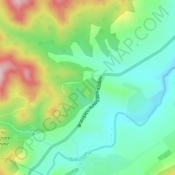
Name: Sakdrisi topographic map, elevation, terrain.
Location: Sakdrisi, Bolnisi Municipality, Lower Kartli, Georgia (41.37696 44.38413 41.39696 44.40413)
Average elevation: 738 m
Minimum elevation: 637 m
Maximum elevation: 940 m
Other topographic maps
Click on a map to view its topography, its elevation and its terrain.