
Sungai Kesang topographic map
Interactive map
Click on the map to display elevation.
About this map
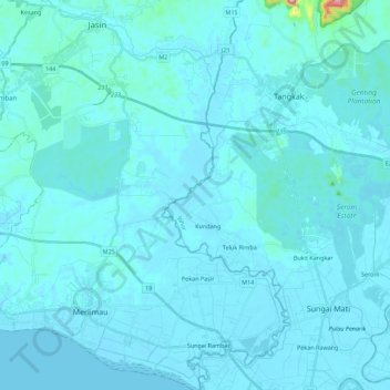
Name: Sungai Kesang topographic map, elevation, terrain.
Location: Sungai Kesang, Tangkak, Johor, Malaysia (2.09897 102.39823 2.32183 102.53726)
Average elevation: 18 m
Minimum elevation: 0 m
Maximum elevation: 422 m
Other topographic maps
Click on a map to view its topography, its elevation and its terrain.
Parit Bukit Batu Pasir
Malaysia > Johor > Batu Pahat > Kampung Bukit Batu Pasir Darat
Average elevation: 5 m