Geolocate

Hudson topographic map

Click on the map to display elevation.

About this map

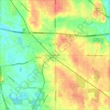
Name: Hudson topographic map, elevation, terrain.

Location: Hudson, Summit County, Ohio, United States (41.20285 -81.48964 41.27705 -81.39183)

Average elevation: 324 m

Minimum elevation: 296 m

Maximum elevation: 354 m

Other topographic maps

Click on a map to view its topography, its elevation and its terrain.

Maple Grove Park

United States > Ohio > Summit County > Hudson

Average elevation: 316 m

Gear up for your next adventure:

🔦LED Camping Lanterns - Illumination for reading maps inside your tent at night
🔋Lithium AA Batteries - Long-lasting power that performs well in cold mountain weather
📦Compression Sacks - Reduce backpack volume efficiently
💧Hydration Reservoirs - Convenient water bladders for hands-free drinking on the move
🐕Dog Hiking Gear - Equipment for hiking safely with dogs

As an Amazon Associate, this site earns from qualifying purchases at no extra cost to you.