
杜庄乡 topographic map
Interactive map
Click on the map to display elevation.
About this map
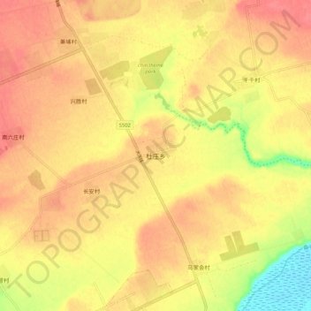
Name: 杜庄乡 topographic map, elevation, terrain.
Location: 杜庄乡, 大同市, 山西省, 中国 (39.89382 113.42501 39.97382 113.50501)
Average elevation: 1,000 m
Minimum elevation: 957 m
Maximum elevation: 1,022 m
Other topographic maps
Click on a map to view its topography, its elevation and its terrain.