
云冈镇 topographic map
Interactive map
Click on the map to display elevation.
About this map
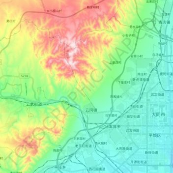
Name: 云冈镇 topographic map, elevation, terrain.
Location: 云冈镇, 云冈区, 大同市, 山西省, 中国 (40.05736 113.03139 40.17354 113.22518)
Average elevation: 1,189 m
Minimum elevation: 1,024 m
Maximum elevation: 1,556 m
Other topographic maps
Click on a map to view its topography, its elevation and its terrain.