
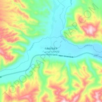
乌鲁克恰提乡 topographic map
Interactive map
Click on the map to display elevation.
About this map
Name: 乌鲁克恰提乡 topographic map, elevation, terrain.
Location: 乌鲁克恰提乡, 乌恰县, 克孜勒苏柯尔克孜自治州, 新疆维吾尔自治区, 中国 (39.78106 74.29536 39.86106 74.37536)
Average elevation: 2,719 m
Minimum elevation: 2,459 m
Maximum elevation: 3,197 m
Other topographic maps
Click on a map to view its topography, its elevation and its terrain.