
Budrikë e Epërme topographic map
Interactive map
Click on the map to display elevation.
About this map
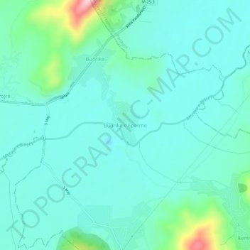
Name: Budrikë e Epërme topographic map, elevation, terrain.
Location: Budrikë e Epërme, Municipality of Vitina, 61000, Kosovo (42.35307 21.39793 42.39307 21.43793)
Average elevation: 503 m
Minimum elevation: 455 m
Maximum elevation: 719 m
Other topographic maps
Click on a map to view its topography, its elevation and its terrain.