
Muara Kuamang topographic map
Interactive map
Click on the map to display elevation.
About this map
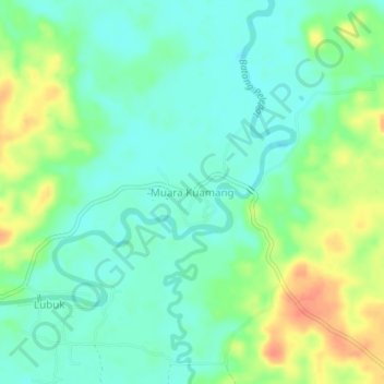
Name: Muara Kuamang topographic map, elevation, terrain.
Location: Muara Kuamang, Bungo, Jambi, Sumatra, Indonesia (-1.60145 102.24570 -1.56145 102.28570)
Average elevation: 51 m
Minimum elevation: 34 m
Maximum elevation: 82 m
Other topographic maps
Click on a map to view its topography, its elevation and its terrain.