
Ramelle topographic map
Interactive map
Click on the map to display elevation.
About this map
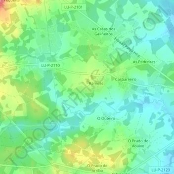
Name: Ramelle topographic map, elevation, terrain.
Location: Ramelle, Friol, Lugo, Galiza, Espanha (43.02451 -7.84398 43.04592 -7.80538)
Average elevation: 496 m
Minimum elevation: 471 m
Maximum elevation: 549 m
Other topographic maps
Click on a map to view its topography, its elevation and its terrain.