
Budha Kedar topographic map
Interactive map
Click on the map to display elevation.
About this map
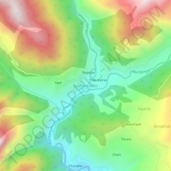
Name: Budha Kedar topographic map, elevation, terrain.
Average elevation: 1,644 m
Minimum elevation: 1,224 m
Maximum elevation: 2,265 m
Other topographic maps
Click on a map to view its topography, its elevation and its terrain.
Ghuttu
India > Uttarakhand > Ghansali
Ghuttu, Ghansali, Tehri Garhwal District, Uttarakhand, India
Average elevation: 1,856 m