
Lee topographic map
Interactive map
Click on the map to display elevation.
About this map
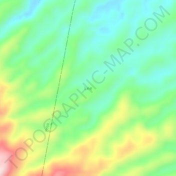
Name: Lee topographic map, elevation, terrain.
Location: Lee, Morowali Utara, Central Sulawesi, Indonesia (-2.08593 120.82206 -2.04593 120.86206)
Average elevation: 544 m
Minimum elevation: 433 m
Maximum elevation: 760 m
Other topographic maps
Click on a map to view its topography, its elevation and its terrain.