
Maralee topographic map
Interactive map
Click on the map to display elevation.
About this map
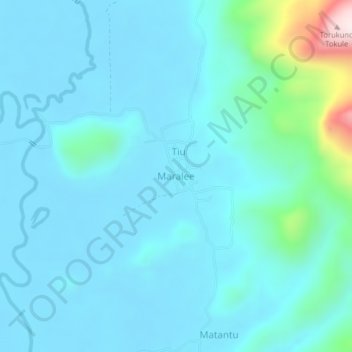
Name: Maralee topographic map, elevation, terrain.
Average elevation: 70 m
Minimum elevation: 2 m
Maximum elevation: 564 m
Other topographic maps
Click on a map to view its topography, its elevation and its terrain.
Lee
Indonesia > Central Sulawesi > Morowali Utara
Lee, Morowali Utara, Central Sulawesi, Indonesia
Average elevation: 544 m