Geolocate

Erica topographic map

Click on the map to display elevation.

About this map

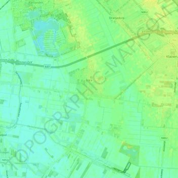
Name: Erica topographic map, elevation, terrain.

Location: Erica, Emmen, Drenthe, Netherlands (52.67623 6.87877 52.74820 6.96214)

Average elevation: 17 m

Minimum elevation: 10 m

Maximum elevation: 27 m

Other topographic maps

Click on a map to view its topography, its elevation and its terrain.

Hondsrug

Netherlands > Drenthe > Exloo

Average elevation: 19 m

Zuidbarge

Netherlands > Drenthe > Emmen

Average elevation: 20 m

Lhee

Netherlands > Drenthe

Average elevation: 11 m

Gear up for your next adventure:

🧭Professional Hiking Compasses - High-precision liquid-filled compasses for map reading and orientation
🎒Hiking Child Carriers - Explore the outdoors with the whole family safely
🔥Reusable Hand Warmers - Maintain dexterity in your fingers for precise map handling
🧦Hiking Socks - Breathable socks designed to prevent blisters on long walks
🧤Waterproof Overmitts - Extreme weather protection for hikers and mountaineers

As an Amazon Associate, this site earns from qualifying purchases at no extra cost to you.