
Vĩnh Long topographic map
Interactive map
Click on the map to display elevation.
About this map
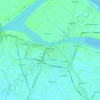
Name: Vĩnh Long topographic map, elevation, terrain.
Location: Vĩnh Long, Vĩnh Long Province, Vietnam (10.22070 105.87749 10.28467 105.99622)
Average elevation: 3 m
Minimum elevation: -3 m
Maximum elevation: 9 m
Other topographic maps
Click on a map to view its topography, its elevation and its terrain.