
東区 topographic map
Interactive map
Click on the map to display elevation.
About this map
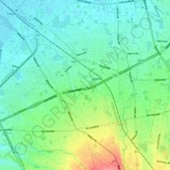
Name: 東区 topographic map, elevation, terrain.
Location: 東区, 堺市, 大阪府, 540-8570, 日本 (34.51001 135.50836 34.55930 135.55504)
Average elevation: 48 m
Minimum elevation: 23 m
Maximum elevation: 103 m
Other topographic maps
Click on a map to view its topography, its elevation and its terrain.